You have

Road Resources
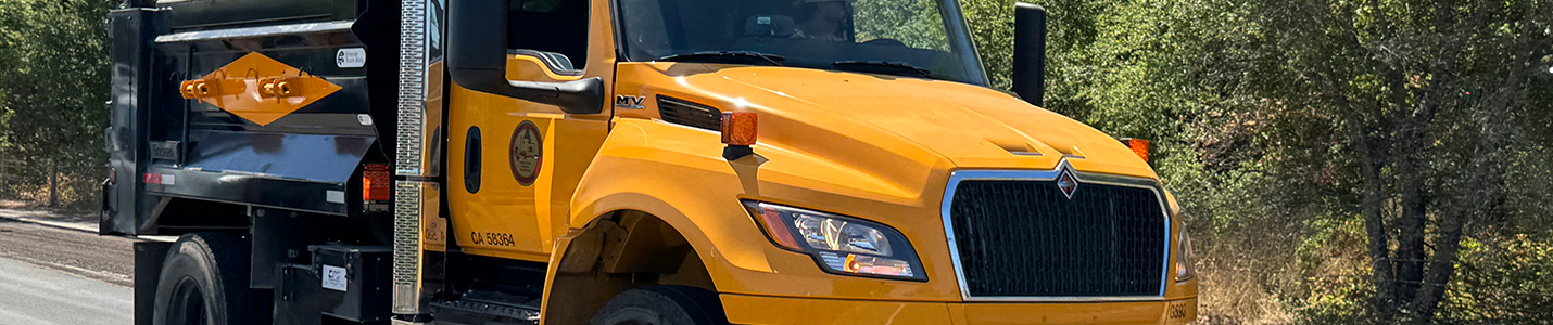
Sonoma County Public Infrastructure provides a wide range of resources to guide contractors, developers, and the public in understanding and working within the County road system. These resources include the County’s Functional Classification system, which defines how roads are categorized (local roads, collectors, arterials), the official Construction Standards Library (designs and technical notes contractors must follow), and 18 interactive maps covering topics such as road closures, pavement condition, bridges, and traffic volumes.
Together, these tools ensure that road construction, maintenance, and development projects are safe, efficient, and consistent with County and state requirements.
Functional Classification of Roads
Roads in Sonoma County are categorized using the Functional Classification system, developed by the Federal Highway Administration and applied by Caltrans. This system organizes roads based on traffic volume, connectivity, and purpose, helping determine how they are designed, maintained, and funded.
| ARTERIALS | Carry the highest volumes of traffic and connect major communities. | |
| Interstates: | Long-distance, high-speed highways with limited access. None exist within Sonoma County. | |
| Freeways & Expressways: | Similar to interstates but serve regional rather than national travel. Examples: US Highway 101 and State Highway 12 (not County-maintained). | |
| Other Principal Arterials: | Connect metropolitan areas and allow direct land access through intersections or driveways. | |
| Minor Arterials: | Serve shorter trips, provide community connections, and may carry local bus routes. | |
| COLLECTORS | Collectors gather traffic from local roads and feed it into the arterial network. | |
| Major Collectors: | Longer routes with higher speeds, traffic volumes, and eligibility for federal funding. | |
| Minor Collectors: | Shorter routes with lower speeds and traffic volumes; not eligible for federal funding. | |
| LOCAL ROADS | Local roads make up most of the County’s road mileage. They provide direct property access, discourage through-traffic, and typically do not support bus routes. |
Construction Standards
Series 100-219E: Roadway
- 100 - Recommended Abbreviations, Lines, Symbols
- 214 - Edge Grind Detail Transverse Conform Typical Section
- 216 - Bus Stop Turnout Typical Section (Urban)
- 218 - Survey Monument
- 218A - Survey Monument Cover Replacement
- 219A - Pavement Cut Policy
- 219B - Trench Backfill and Paving Details
- 219C - Pavement Cut Policy Intersections
- 219D - Bell Hole Policy
- 219E - Exception to Standard Details
- Standard Improvement Plan Construction Notes
Series 220-229: Sidewalk
- 220 - Curb, Gutter and Sidewalk
- 222 - Weakened Planes, Score Marks and Expansion Joints
- 223 - Curb, Gutter and Sidewalk Expansion Joint, New to Exist
- 224 - Pedestrian Ramps, Location Overview
- 224A - Curb Ramp Exceptions and Supplemental Requirements to State Standard Plans A88A and A88B
- 224B - Curb Ramp, General Notes
- 226 - Typical Sidewalk Obstruction Transition
- 228 - Asphalt Concrete Walkway
- 229 - Sidewalk Barricade
Series 230-242: Fencing
Series 600: Streetlights
- 600 - Pull Box Installation, No. 5 Pull Box
- 602 - Pull Box Installation, No 5 (T) Pull Box
- 605 - Led Street Light Schematic Wiring Diagram
- 606 - Electric Service Detail, Underground Service
- 608 - Electric Service Detail, Overhead Service
- 610 - Street Lights, Arterial Streets
- 612 - Street Lights, Collector Streets
- 614 - Street Lights, Local Streets
- 616 - Concrete Footing Detail, Standard Street Light Pole
- 618 - Base Detail, Standard Street Light Pole
- 620 - Street Light Base Leveling Detail
- 622 - Street Lights, Lateral Light Distribution
- 630 - Traffic Signal Loop Detector Replacement
- Street Lighting Requirements Notes and Legend
Series 700: Traffic Signing
- 700 - Street Name Sign, Metal Pole Mounting
- 702 - Street Name Sign, Wood Post Mounting
- 704 - Advance Street Name Sign
- 706 - Street Name Signs, Mast Arm Mounted Brace Detail
- 708 - Barricade Placement for R1 Sign Installation in Painted Island
- 710 - Special Event Signing
- 712 - Sign Location and Installation Details
- 712A - Sign Foundations Details
- 714A - Temporary Wooden Barricade
- 714B - Pavement Transition Barricade
- 714C - Pavement Transition Barricade Details
- 714D - Barricades, General Notes
- Specifications about Signing, Striping and Marking
Series 800: Driveways
- 804 - Driveway Details for Utility Trenching
- 806 - Urban Driveway, Heavy Use, Commercial
- 808 - Urban Driveway, Light Use, Commercial and Residential
- 812 - Rural County Road, Driveway and Private Road Intersections
- 815 - Rural Driveway / Roadway
- 816 - Rural Driveway Drainage, Ditches
- 818 - Rural Driveway Drainage, Valley Gutters
- 820 - Rural Driveway Drainage, Culverts
Series 900: Design
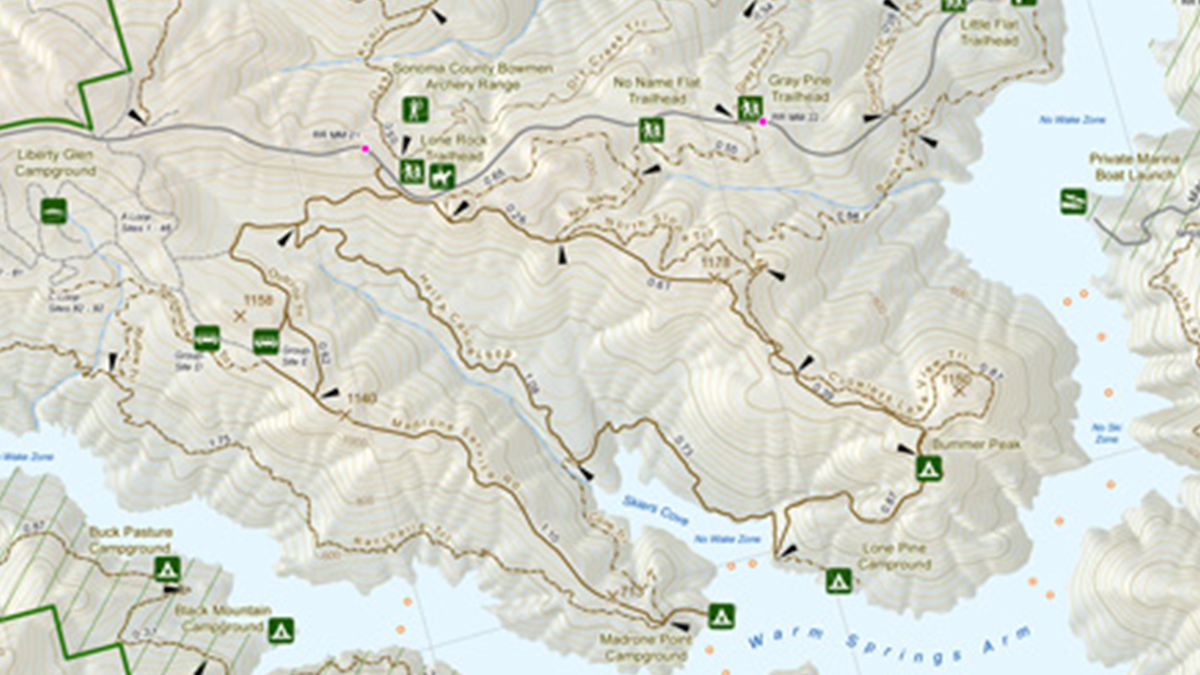
Collection of Interactive Maps
We are excited to offer the public a collection of interactive maps that make it easier to explore, understand, and engage with Sonoma County’s roadways and infrastructure. These tools provide valuable, real-time information ranging from road conditions to community involvement programs. Popular highlights include the Adopt-a-Road Program Map, which showcases roads cared for by local volunteers; the Road Closures and Delays Map, offering up-to-date information on closures and construction; and the Pavement Condition Map, which shows inspection-based roadway quality across the county. Other favorites, such as the Planned Paving Projects Map and the Speed Limits Map, allow residents to stay informed about improvements and safety measures in their communities.
 Translate