You have
Information Systems Department
Enterprise Development Services
Geographic Information Systems (GIS)
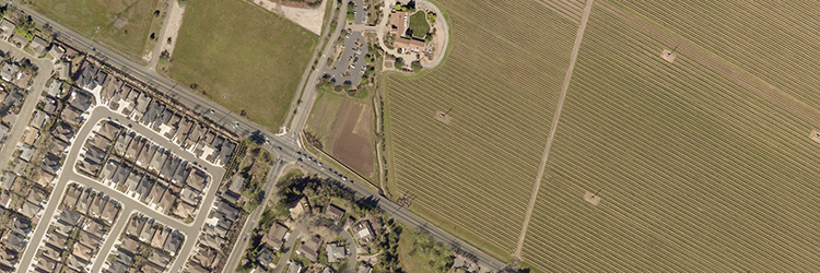
The GIS team within ISD delivers powerful geospatial solutions that enhance decision-making, improve public access to information, and support operational efficiency across the County. By transforming complex data into intuitive maps and applications, GIS empowers county staff to work smarter and ensures the public has timely, transparent access to critical information. These digital tools also strengthen business continuity and emergency response by ensuring that essential data is always accessible—whether in the office, in the field, or during a crisis.
-
Custom Mapping & Applications
We design and maintain interactive, web-based maps and dashboards tailored to the needs of departments and the public through the County’s “One-Stop GIS” web site. These tools improve transparency, streamline workflows, and help staff and residents make informed decisions. -
Geospatial Data Management
Our team curates and integrates a wide variety of spatial datasets that support planning, permitting, public safety, and more. Authoritative data are stored in a centralized on-premises data base and published to web services (REST) that are accessible on the County network and in the Cloud. This ensures staff and the public always have reliable, up-to-date information at their fingertips, reducing delays and improving service delivery. -
Enterprise GIS Infrastructure
We maintain scalable systems that support desktop, mobile, and cloud-based GIS access across a comprehensive geospatial platform—enabling seamless collaboration across departments and ensuring continuity of operations during emergencies or remote work scenarios. -
Technical Support & Training
We provide consultation, training, and workflow support to help departments maximize the value of GIS. This builds internal capacity and ensures consistent, high-quality use of geospatial tools across the organization. -
Public-Facing Tools
Applications like SOCO Map and the County’s GIS Portal give residents access to authoritative geospatial information, including zoning, property, and emergency evacuation zone data. These tools enhance public engagement, reduce service requests, and build trust through transparency. -
Emergency Response Support
GIS plays a vital role in emergency preparedness, response, and recovery. We deliver real-time situational awareness through live dashboards, support evacuation planning and routing, and provide public-facing maps that keep residents informed during wildfires, floods, and other critical events.
In a world where timely information and agility are essential, GIS is more than just a mapping tool—it’s a strategic asset. Whether helping a resident identify road closures and delays or enabling staff to analyze infrastructure needs, GIS connects people to the data they need, when they need it. Our team is committed to advancing Sonoma County’s mission through innovation, collaboration, and service—one map at a time.
Resources
Maps & GIS
Sonoma County GIS
Spatial Understanding for Better Decisions

Find interactive maps and applications, GIS data, and related online content.
 Translate